en
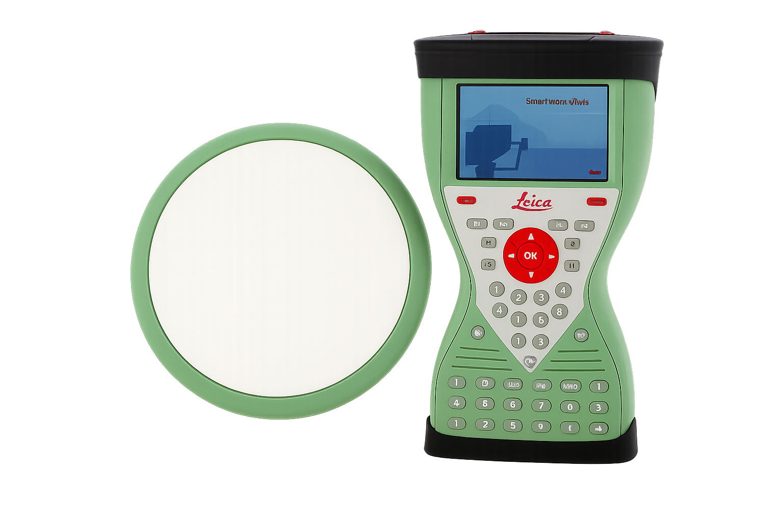
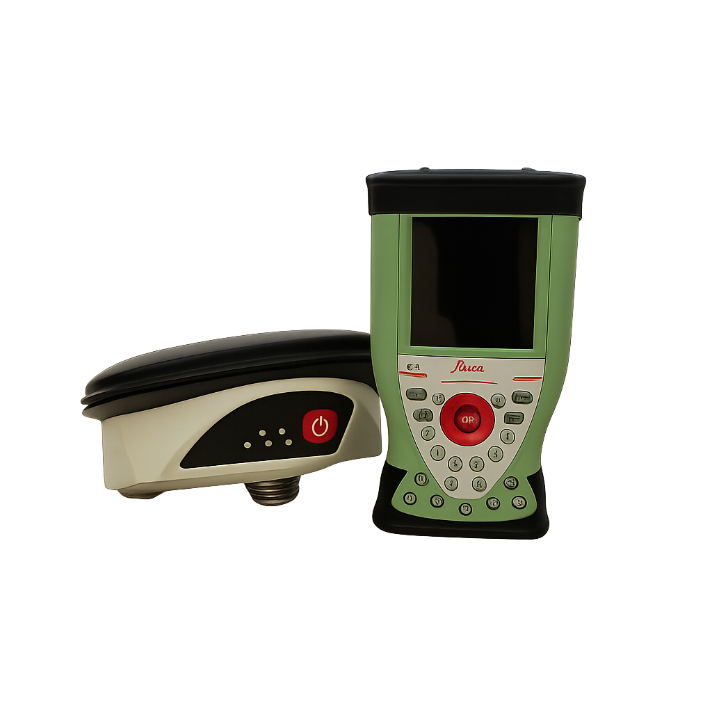
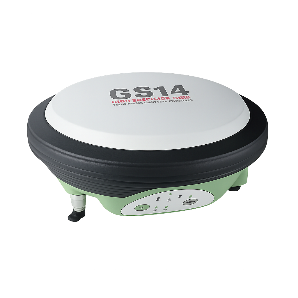
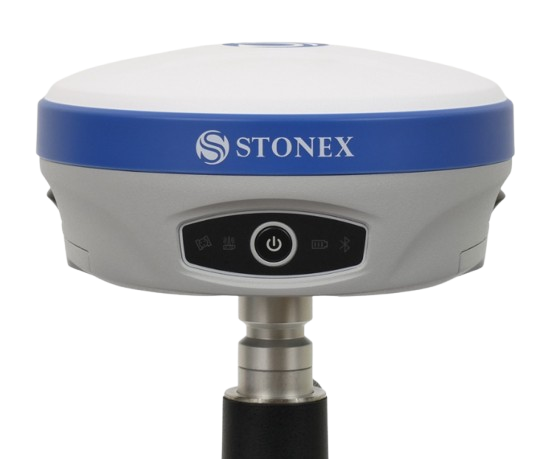
Leica GPS devices are designed for a wide range of projects. These devices are compact, lightweight, have many functions and, most importantly, are software-supported, which makes them a suitable option for geodetic projects.
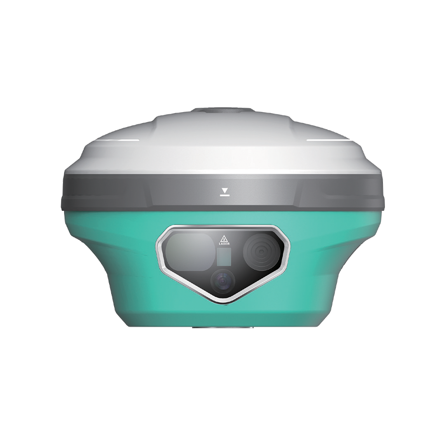
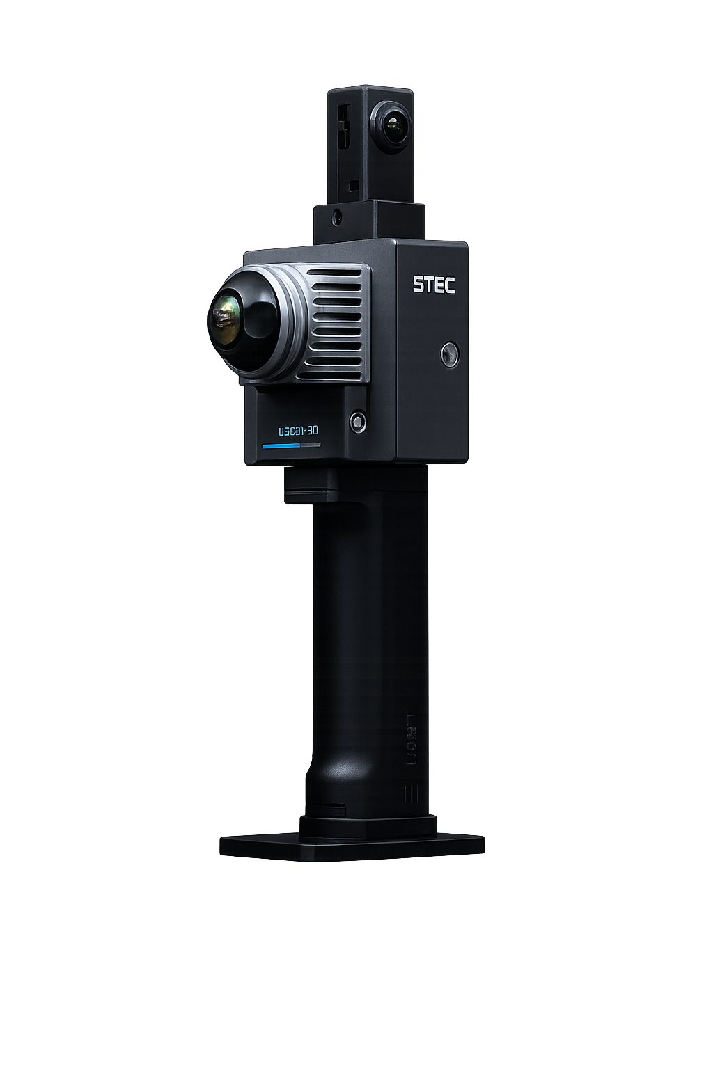
The 2 cameras built into the SDI significantly improve the accuracy of augmented reality (AR) tracking technology. This is what the STEC fusion AR 2nd generation is all about. The GPS has a base rover function, the coverage area of which is 15 km. The doubled tilt angle makes it possible to get a fix even when tilted up to 120°.
1” second angle accuracy and 1.5mm+2ppm distance accuracy. 1000m reflectorless measurement capability. Fast feedback (0.3s) per measurement.
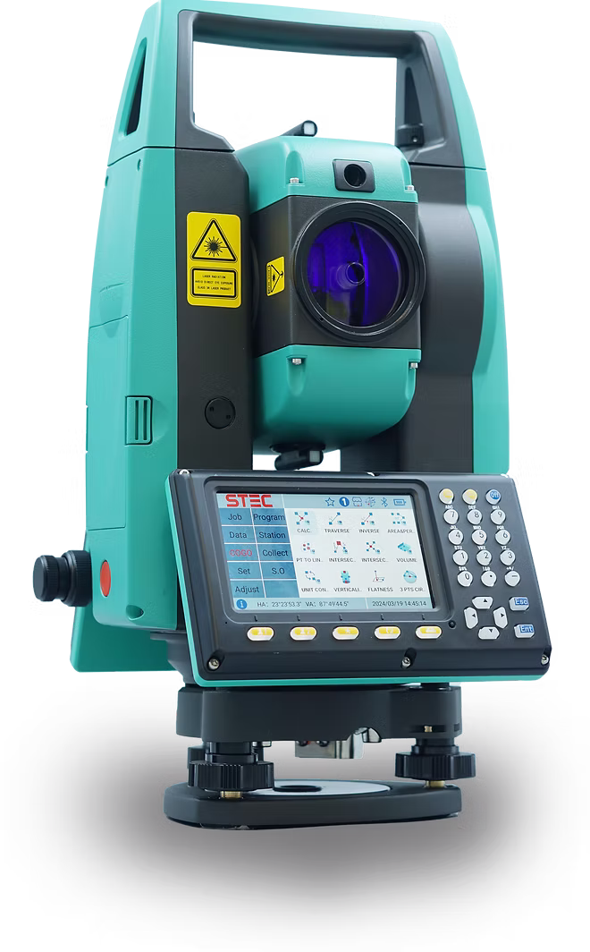
2” second angle accuracy and 1mm+1ppm distance accuracy. 1000m reflectorless measurement capability. Fast feedback (0.3s) per measurement.
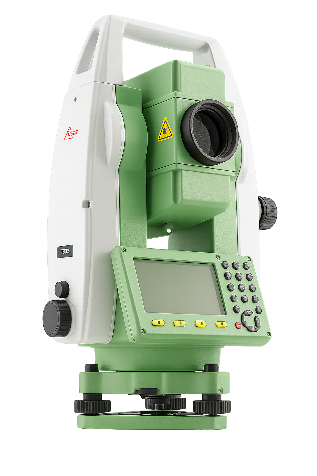
3” seconds angle accuracy and 3mm+2ppm distance accuracy. 500m reflectorless measurement capability. Fast feedback (0.3s) per measurement.
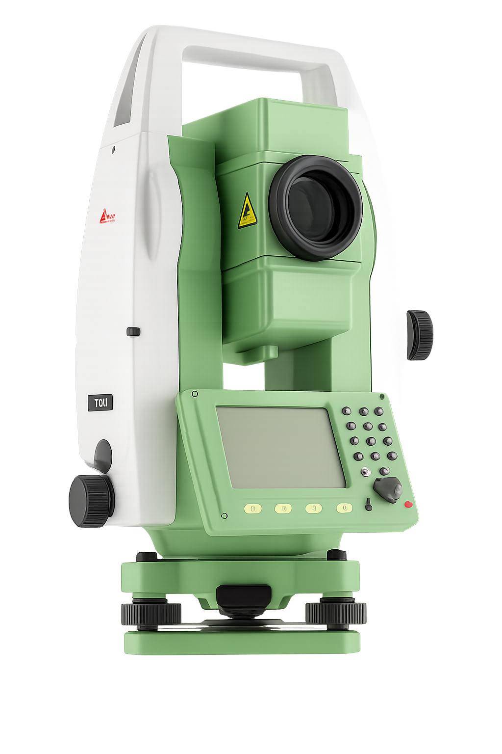
5” second angle accuracy and 3mm+2ppm distance accuracy. 400m reflectorless measurement capability. Fast feedback (0.3s) per measurement.
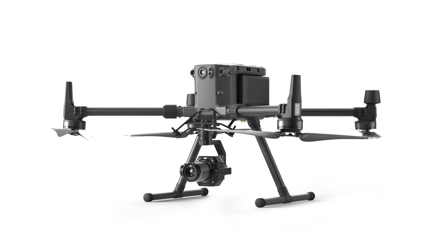
The drone has an incredible range of 15 kilometers and the ability to shoot high-quality photos and videos. Flight time: 55 minutes, speed 23 m/s. Used for aerial photography and topographic work.
LiScan 50 is a wireless, lightweight and easy-to-use laser scanner that simultaneously captures accurate point clouds and panoramic images. It uses powerful SLAM technology to record data while in motion. Simplicity in every movement. Compact and lightweight body, simplicity in every movement, panoramic 18 megapixel camera. 360° x 59° FOV. 200,000 points per second. 70m scanning distance.
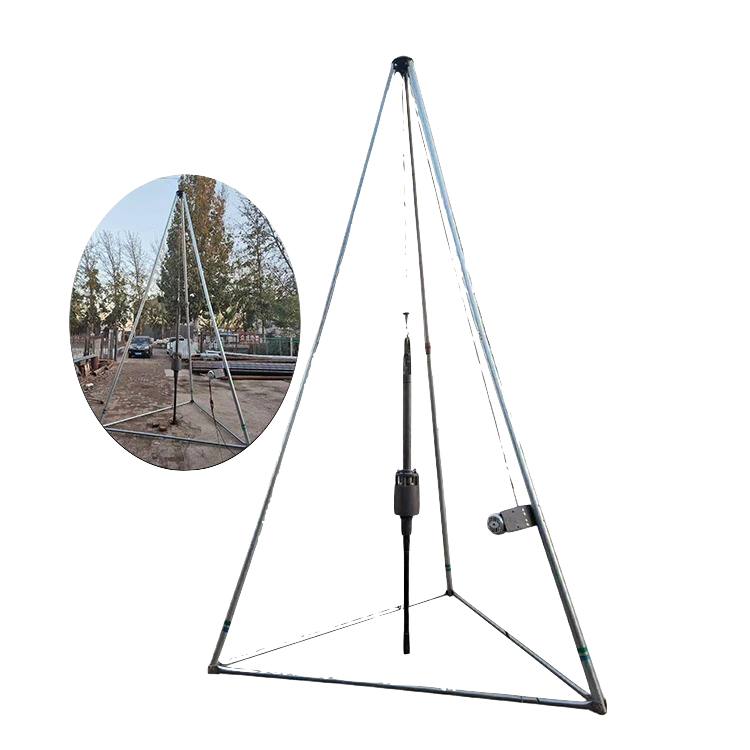
The instrument can only be used for soil surveys where there is less rock and/or less stone. Also, in difficult to access areas where it is impossible to travel by car.