
en
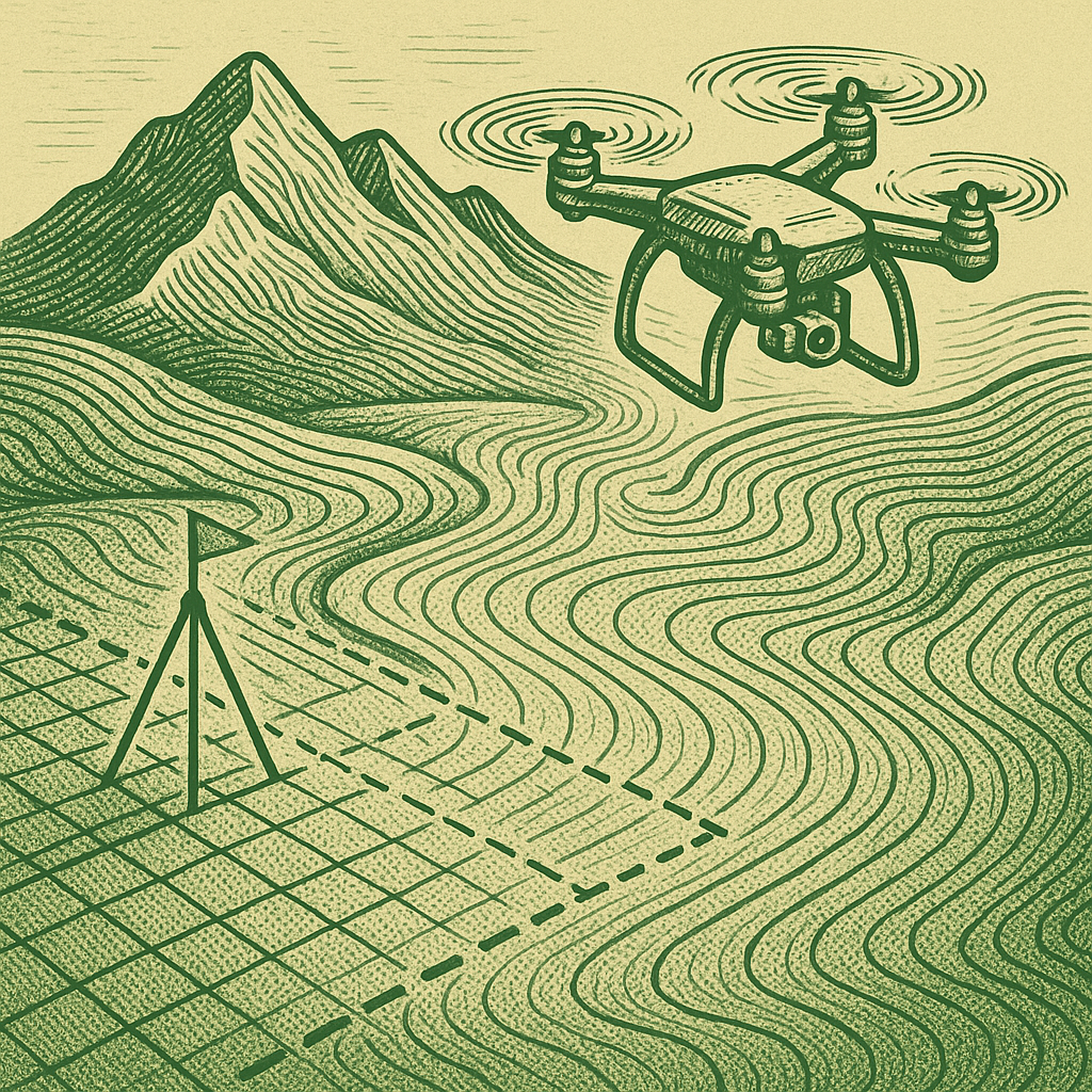
• აერო და კოსმოსური სურათების დამუშავება;
• სტერეო გამოსახულება;
• ციფრული სიმაღლის მოდელების შექმნა (DEM);
• ციფრული ზედაპირის მოდელის შექმნა (DSM);
• ციფრული რელიეფის მოდელის შექმნა (DTM);
• ტოპოგრაფიული რუკების ჩახაზვა სტერეო გამოსახულებით;
• კონკრეტული არეალების ორთოფოტო გეგმების შედგე;
• აერო და კოსმოსური სურათებზე დეშიფრირება;
(ტოპოგრაფიული რუკა - განკუთვნილიამრავალმიზნობრივი სამეურნეო, საპროექტო, სამშენებლო, სამეცნიერო-საგანმანათლებლო დათავდაცვითი მიზნებისათვის)
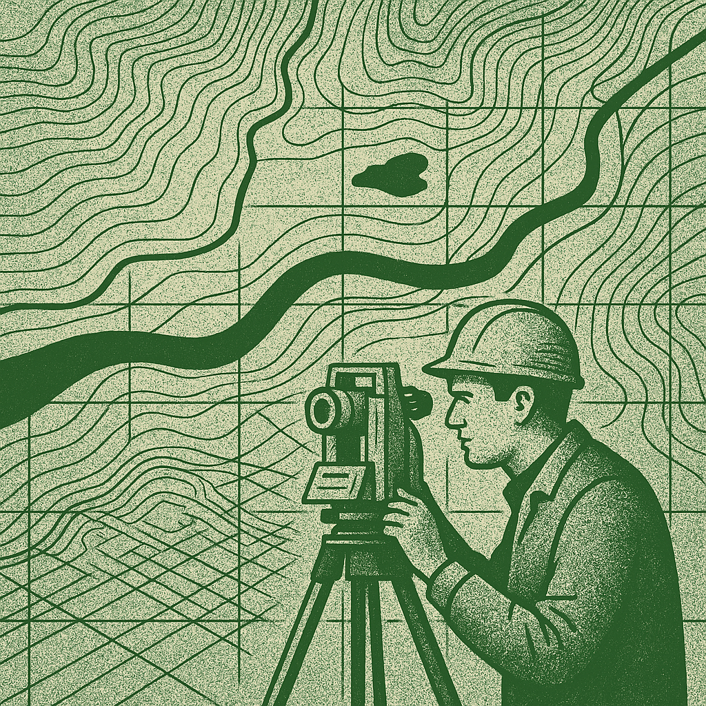
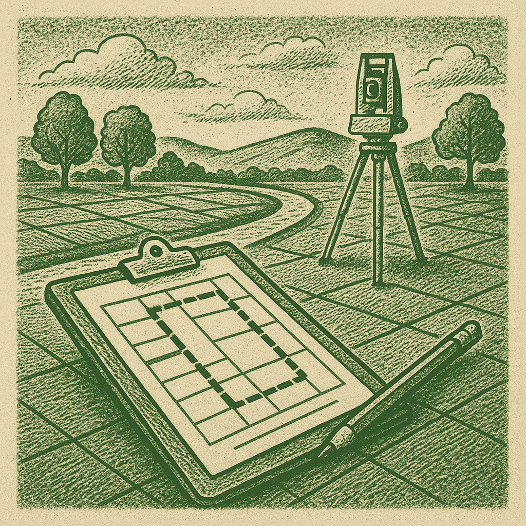
• ნებისმიერი მასშტაბის ტოპოგრაფიული გეგმებისა და რუკების შედგენა (1:200, 1:500; 1:1000;1:2000 და ა. შ.);
• ასაგეგმი წერილების (XYZ, EGM96) კოორდინატების გამოთვლა;
• გრძივი და განივი პროფილების აგება;
• მიწის სამუშაოების მოცულობის გამოთვლა;
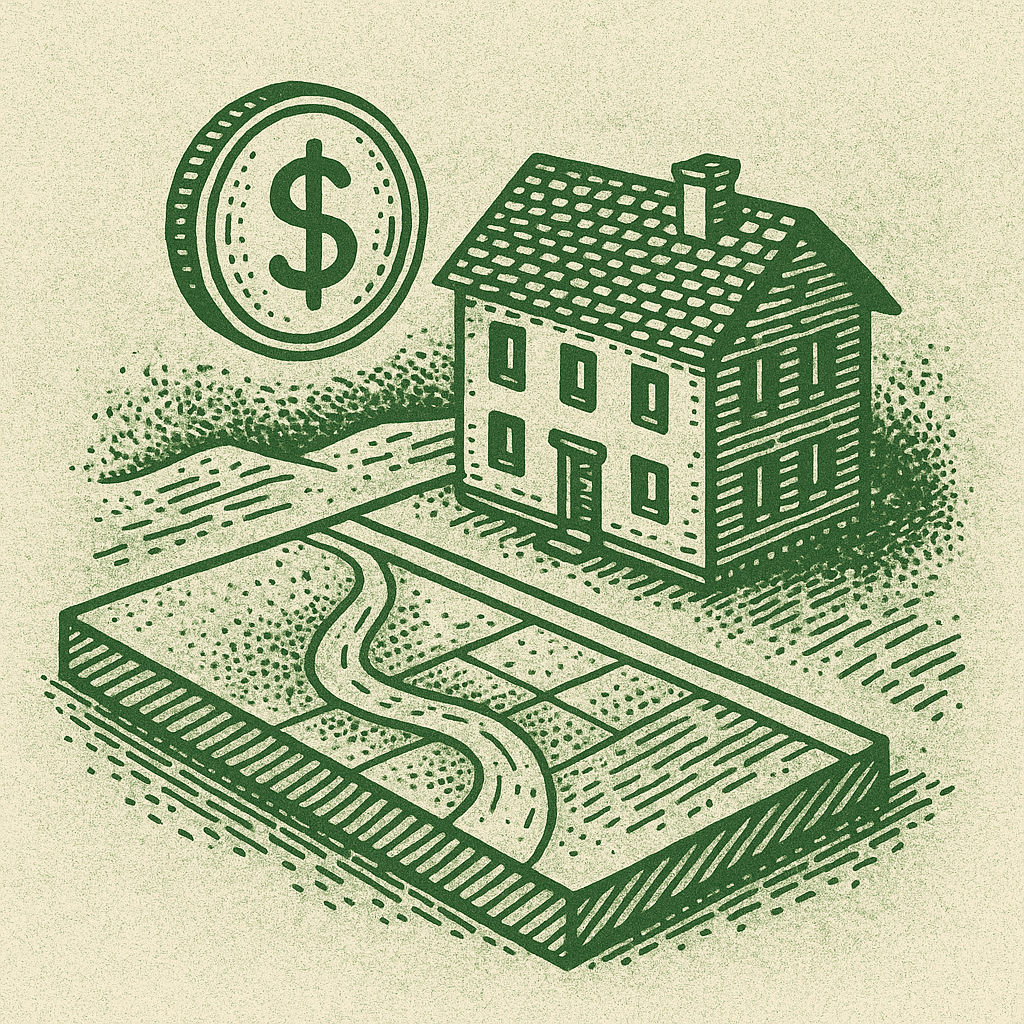
• სასოფლო და არასასოფლო სამეურნეო უძრავი ქონება.
• ბინა, სახლი, კომერციული ფართი და სხვ.
• ბიზნესის შეფასება.
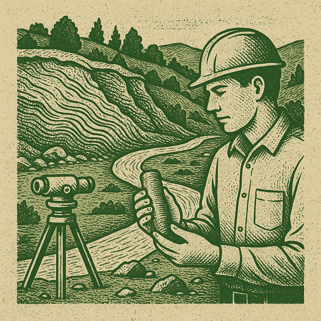
• Engineering-geological drilling;
• Research of physical-mechanical properties of soils in the engineering-geological laboratory;
• Visual assessment of geodynamic hazards (landslide erosion, rockfall, etc.), mapping of their occurrence sites, and issuing recommendations for protective measures if necessary;
• Seismic exploration profile using the refracted wave method;
• Preparation of a geological report;
• Observation of landslide processes;
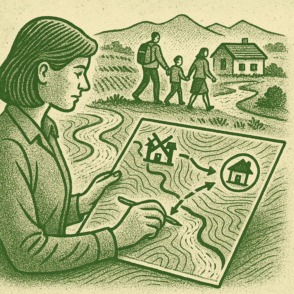
Real estate field cadastral planning and drawing preparation (cadastral planning provides complete information about the exact geographical location of the land plot, its area, configuration, individual dimensions, buildings located on the plot, their purpose, number of floors and development. It provides information about a single plot.)(In accordance with Resolution #388 of the Government of Georgia of August 8, 2016)
• Preparation of separation and unification drawings;
• Identification of land plots and buildings (demarcation of boundaries);
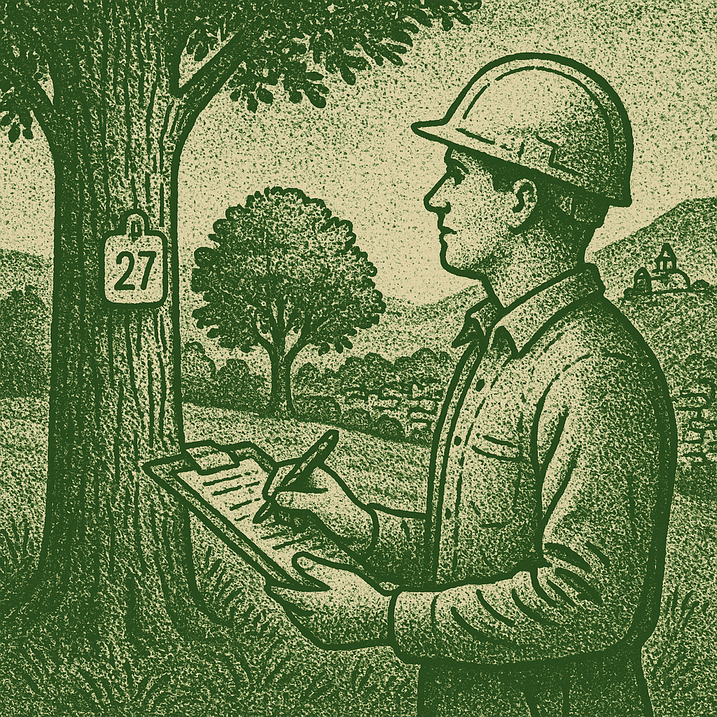
• Preparation of a forest management project;
• Inventory of green areas in urban areas;
• Marking and allocation of trees for the implementation of green plantation maintenance and restoration measures;
• Ecological condition of forests;
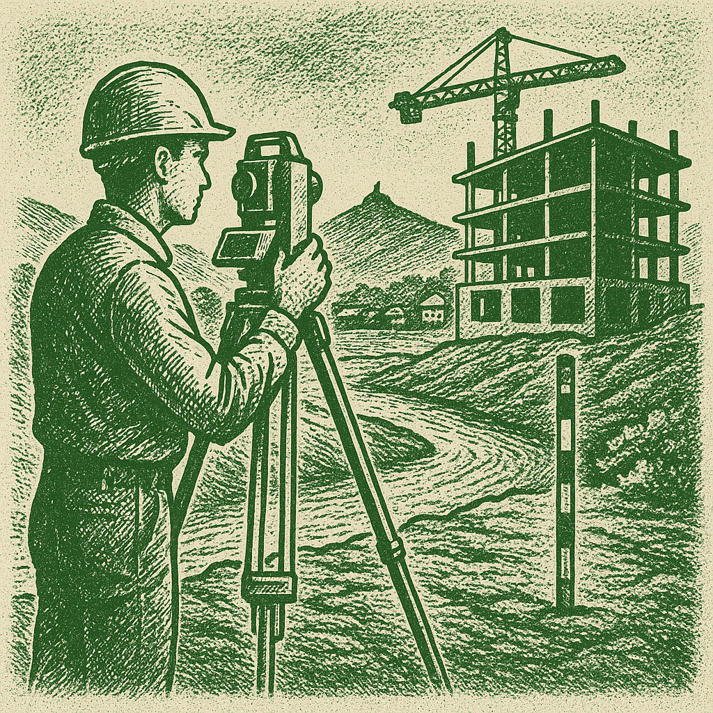
• Checking and comparing the detailed drawings with the actual work performed;
• Identifying design data (buildings) on site;
• Transferring axes and design marks to the site;
• Checking the volume of earthworks (using modern technology, scanning)
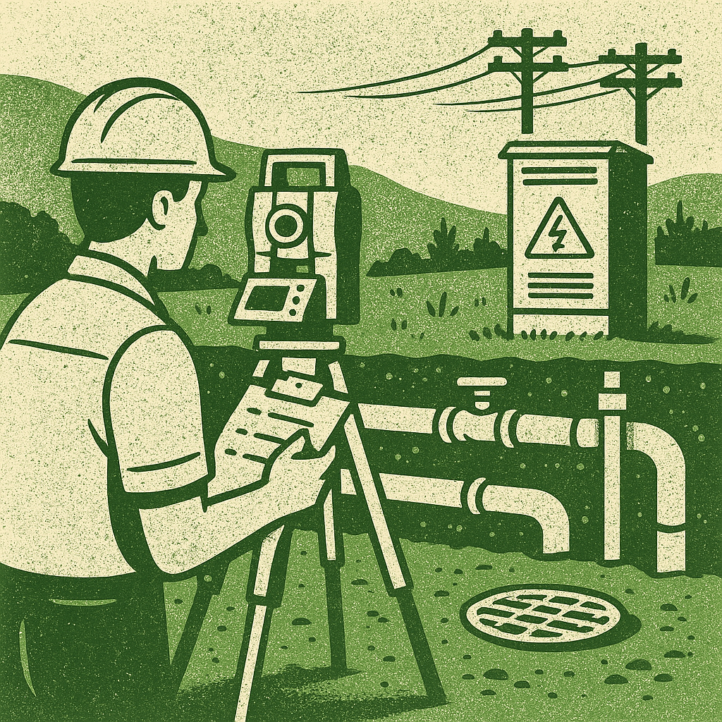
• Motorways
• Water supply network
• Drainage systems
• Sewage network
• Electricity supply network, etc.
• Analysis of land plots in the zone of alienation
• Detailed measurements
• Population census and impact assessment
• Socio-economic information
• Conducting public consultations
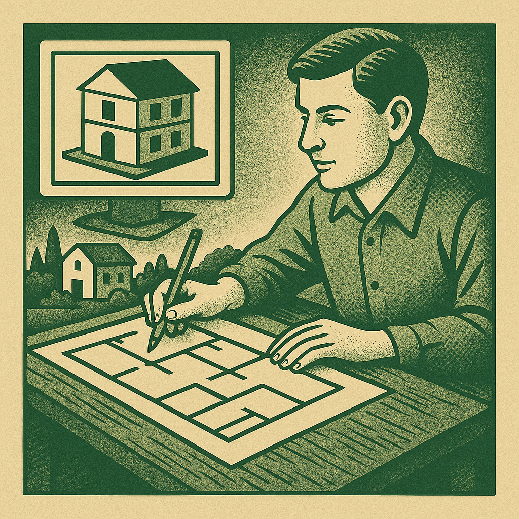
• Internal measurement drawings of buildings and structures
• Facade measurement drawings
• Preparation of 3D volumetric drawings of the internal and external interiors of the building