Geology
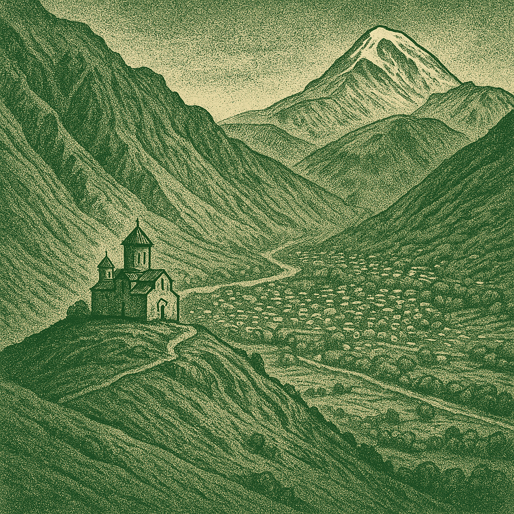
ყაზბეგის მუნიციპალიტეტიგუდაურის სამთო სათხილამურო კურორტის საბაგირო.
See more

Clients
Partners
Projects

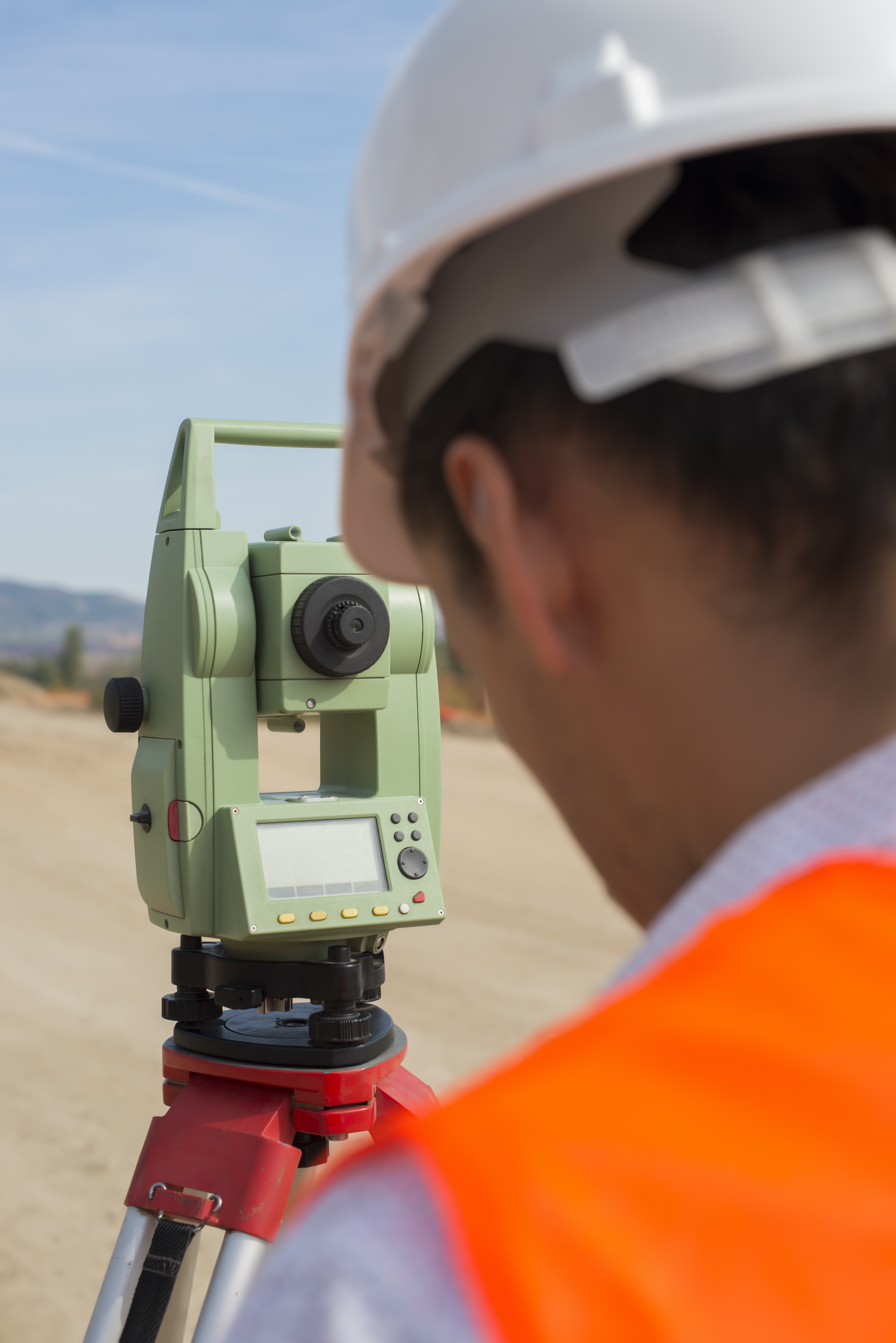
• Real estate field cadastral planning and preparation of drawings (cadastral planning provides complete information on the exact geographical location of the land plot, area, configuration, individual dimensions, buildings located on the plot, their purpose, number of floors and development. It provides information about a single plot.) In accordance with; (Resolution of the Government of Georgia #388 of August 8, 2016
• Preparation of separation and unification drawings;
• Identification of land plots and buildings (determination of boundaries);
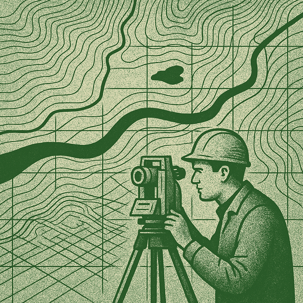
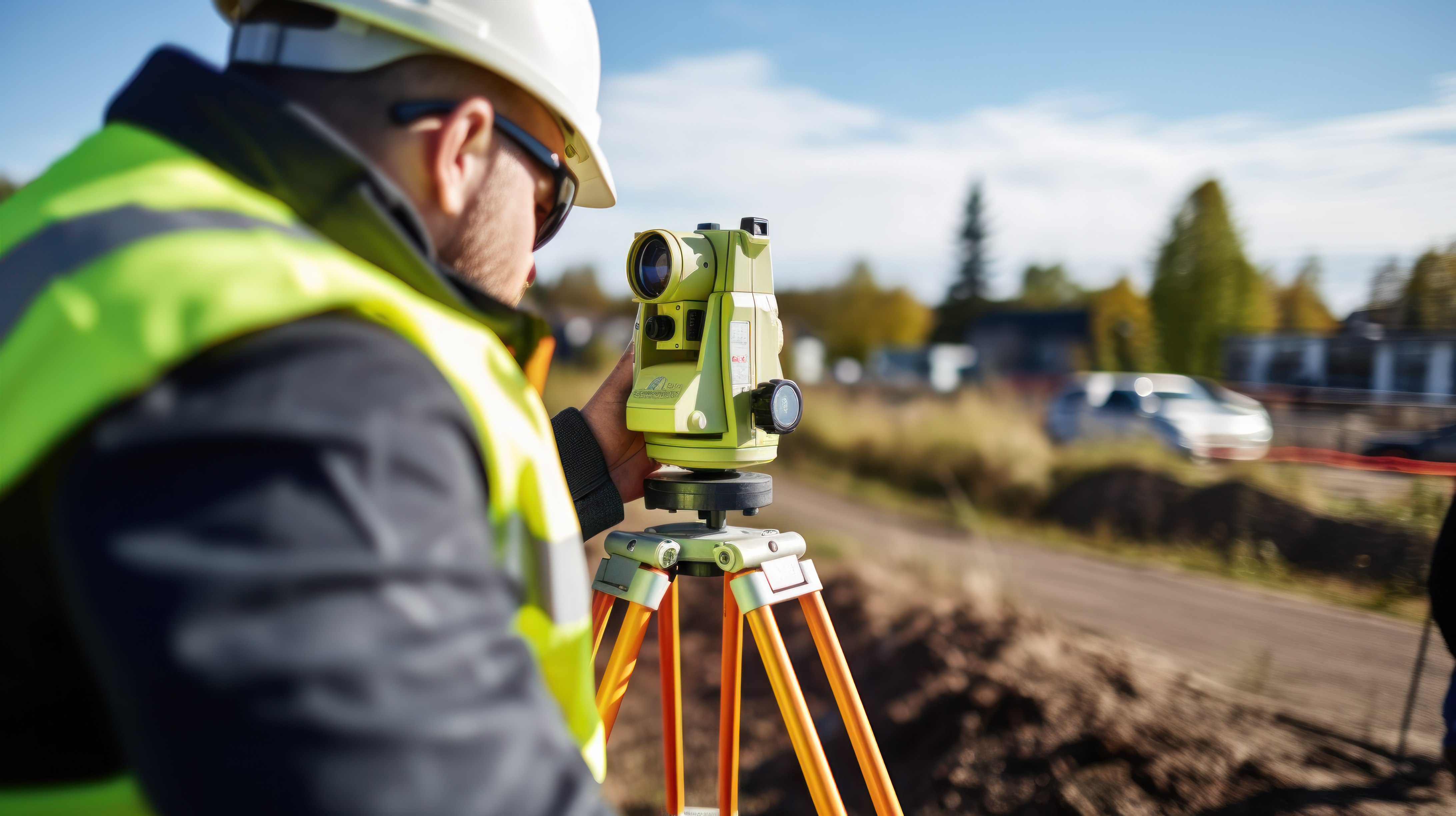
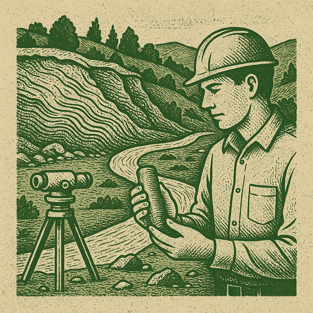
Topographic map - intended for multipurpose economic, design, construction, scientific-educational and defense purposes
• Compilation of topographic plans and maps of any scale (1:200, 1:500; 1:1000; 1:2000, etc.);
• Calculation of coordinates of planning letters (XYZ, EGM96);
• Construction of longitudinal and transverse profiles;
• Calculation of the volume of earthworks;

• Processing of aerial and space images;
• Stereo imaging;
• Creation of digital elevation models (DEM);
• Creation of digital surface models (DSM);
• Creation of digital terrain models (DTM);
• Drawing topographic maps from stereo images;
• Drawing orthophoto plans of specific areas;
• Deciphering aerial and space images;
• Engineering-geological drilling;
• Research of physical-mechanical properties of soils in the engineering-geological laboratory;
• Visual assessment of geodynamic hazards (landslide erosion, rockfall, etc.), mapping of their occurrence sites, and issuing recommendations for protective measures if necessary;
• Seismic exploration profile using the refracted wave method;
• Preparation of a geological report;
• Observation of landslide processes;
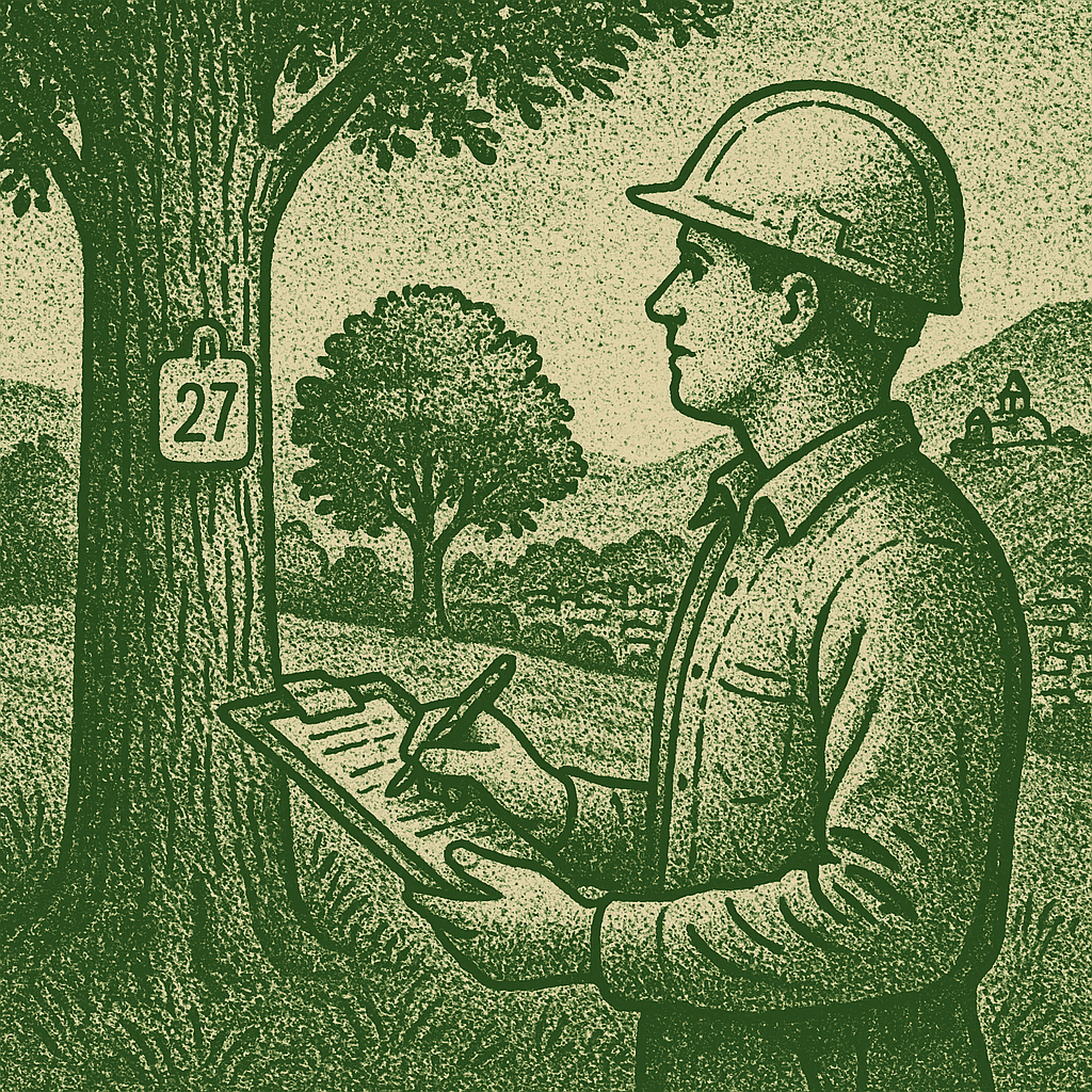
• Preparation of a forest management project;
• Inventory of green areas in urban areas;
• Marking and allocation of trees for the implementation of green plantation maintenance and restoration measures;
• Ecological condition of forests;
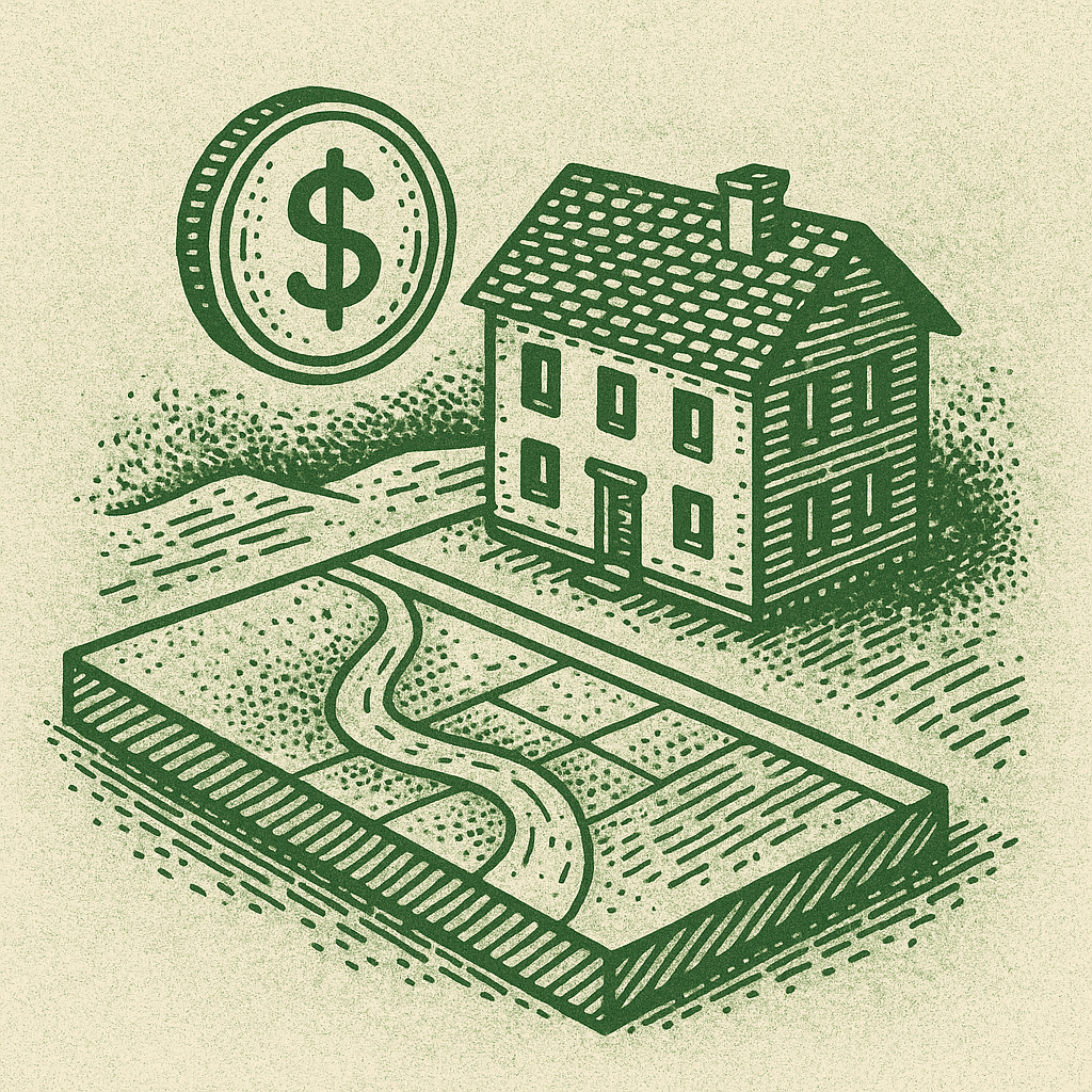
• Rural and non-rural real estate.
• Apartment, house, commercial space, etc.
• Business valuation.
Our services are designed for a diverse audience and for those areas that require high-precision field inventory and planning data.
Real Estate – detailed land planning and valuation services.
Oil and Gas – infrastructure inventory and technical surveys.
Electrical Systems – geodetic services for inventory and installation of power lines and substations.
Road and Transport Infrastructure – topographic surveys and land title works.
Urban Planning and Urbanization – detailed data for effective urban development management.
Hydropower Plants and Water Supply – geological and engineering surveys for all project stages.
Tourism and Recreation – spatial planning and environmental monitoring. Our services help you successfully plan and implement your projects.

Our numbers speak volumes about our experience. With extensive experience and passion for our work, we are one of the leading providers of similar services in the country.
Years
Experience
Team
Members
We have professional services that are essential for businesses operating in various industries that want to make decisions based on accurate numbers.
Have any questions?